 kms
kms
Fox Hunting Results
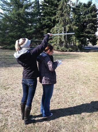
Last month, I posted about fox hunting equipment and software that Mary and her friend Emily used1 for a final project. I forgot to mention some other tools: a compass to take bearings, a GPS to take latitude and longitude, and ArcGIS to map the data.
First, I put the transmitter in a known location, then we went around our neighborhood to take bearings from a few different locations. After getting their bearings (no pun intended), I went and hid with the transmitter and waited for them to find me. After they found me, I went and hid in a more challenging place and waited again.
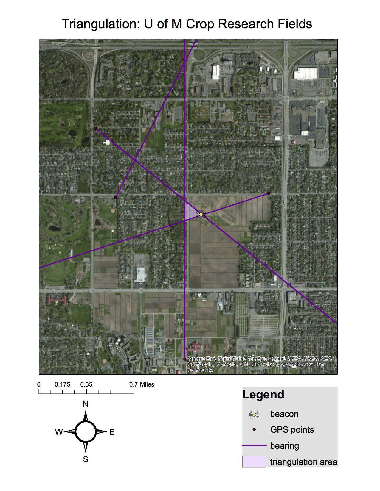
Mary and Emily took their bearings and locations (including the transmitter locations), imported them into ArcGIS to show how triangulation can be used to estimate a transmitter location. The transmitter can be assumed to be within the intersections of successful bearings.
Mary and I are planning on attending HF in the Park next Saturday, where there will be an organized fox hunt. We’ll have to assemble the 2m portion of our Yagi antenna, but we’re looking forward to refining our newly acquired skills.
Since Mary doesn’t (yet!) have her ham radio license, I assisted with the transmitter.↩